

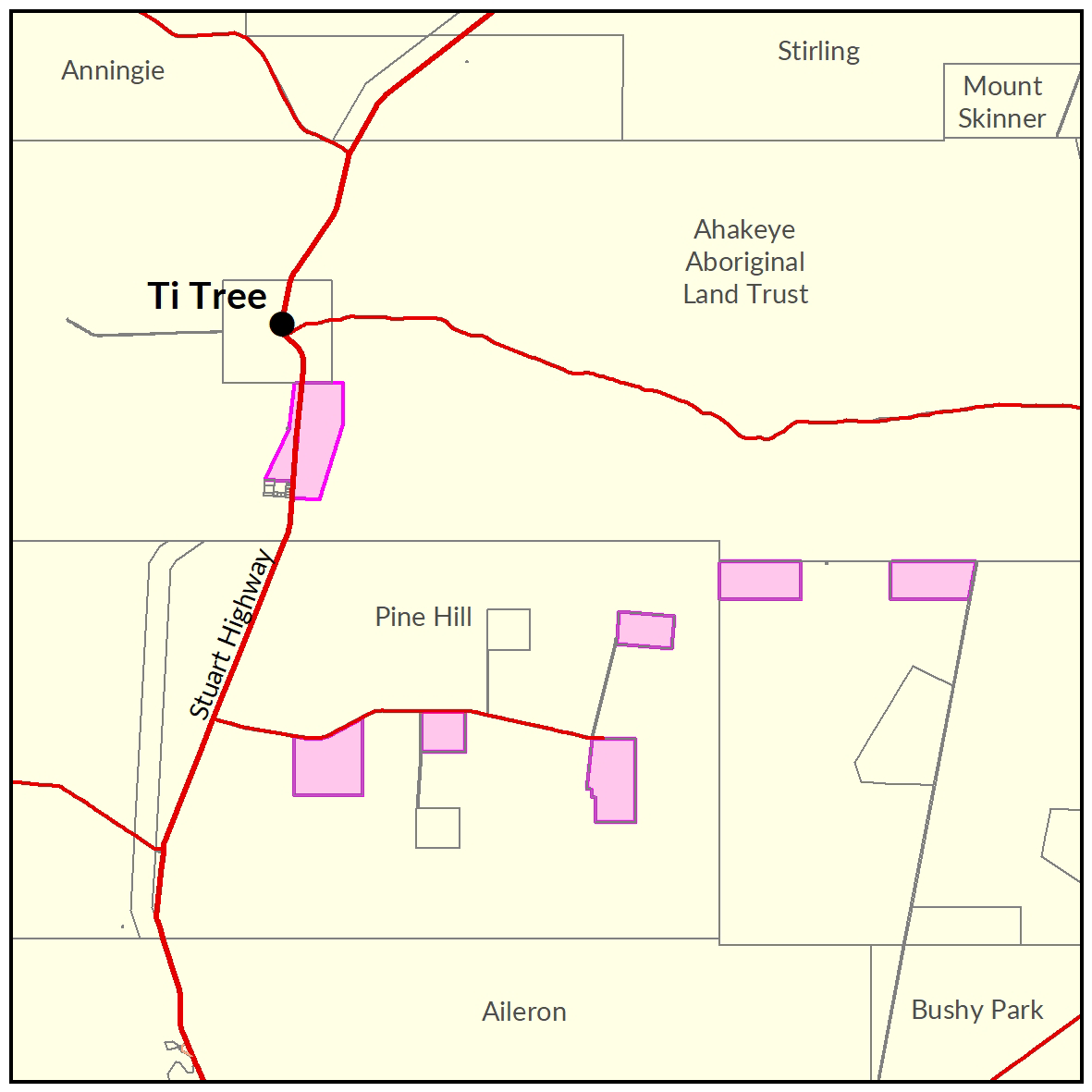
Ti Tree
In 2016-17-the Department of Environment and Environment and Natural Resources undertook a soil and land suitability assessment for irrigated agriculture in the Ti Tree area.
The project investigated 13,563ha of private and Aboriginal land and identified more than 10,000ha suitable for a range of irrigated agricultural crops.
The investigation area is within the Ti Tree Water Control District where water extraction for irrigation purposes is subject to the Ti Tree Water Allocation Plan 2020-2030.

View a larger version of the Ti Tree locality map.
Soil and land
The following report and maps document the soil and land factors likely to impact irrigated agricultural development and highlight the crops most suited to the study area.
- Read the report on the Territory Stories website.
- View the maps (pdf).
- Download the spatial data package.
- View the metadata.
- View the survey location on NR Maps.
Water
Read more information related to water allocation in the Ti Tree Water Allocation Plan area:
- Read the Ti Tree Water Allocation Plan.
- View information on existing water licences in the area on the water licensing portal.
- View the report on the Territory Stories website.
- View the map (pdf).
- Download the spatial data package.
- View the metadata.
- View the survey location on NR Maps.
Contact
For further information contact rangelands@nt.gov.au
Give feedback about this page.
Share this page:
URL copied!