

Dunmarra
The soil and land suitability assessment investigated 59,980ha in the Dunmarra area to assist the potential development of irrigated agriculture in the vicinity.
The land resource mapping and crop suitability framework have identified 14,831ha of versatile lands suitable for irrigating a range of crops, with a further 10,396ha occupied by lands that are suitable for a limited range of irrigated agricultural activities.
View the survey location on NR Maps.

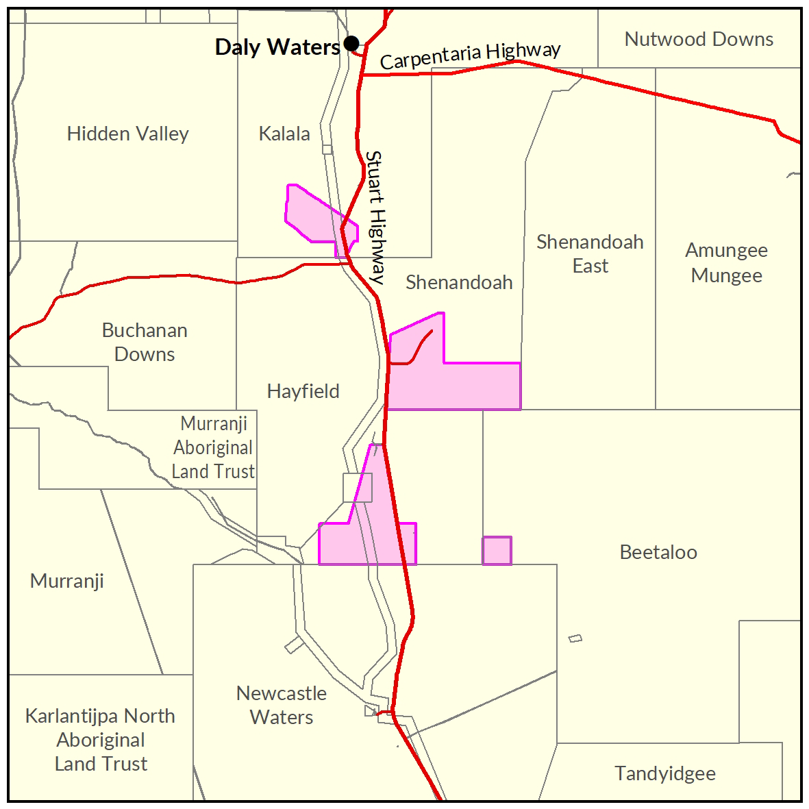
View a larger version of the Dunmarra locality map.
Soil and land
The following report and maps document the soil and land factors likely to impact irrigated agricultural development and highlight the crops most suited to the study area.
- Read the report on the Territory Stories website.
- View the maps (pdf).
- Download the spatial data package.
- View the metadata.
Water
The 'Georgina Basin Groundwater Assessment: Daly Waters to Tennant Creek report' is a technical report. It describes the hydrogeological characteristics of the Gum Ridge and Anthony Lagoon formations within the Georgina Basin.
The report estimates water availability, bore yield and groundwater quality.
- Read the report on the Territory Stories website.
- View the Georgina Basin survey location on NR Maps.
Contact
For further information contact rangelands@nt.gov.au
Give feedback about this page.
Share this page:
URL copied!